We partner with Rewilding Britain to help protect our natural spaces for future adventures.
All centres are vetted for safety and quality. Your adventure is in good hands with adventuro.

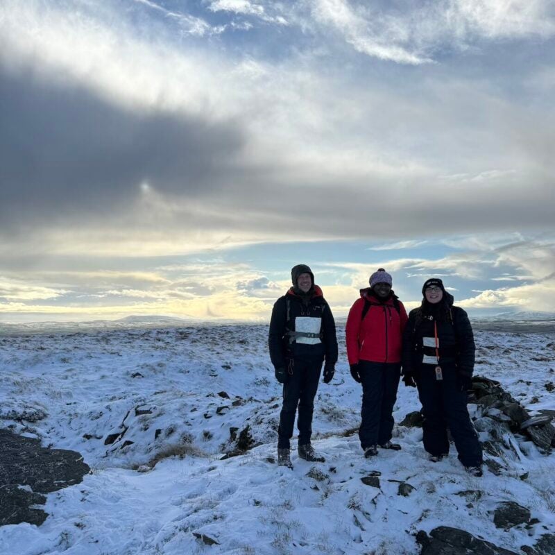
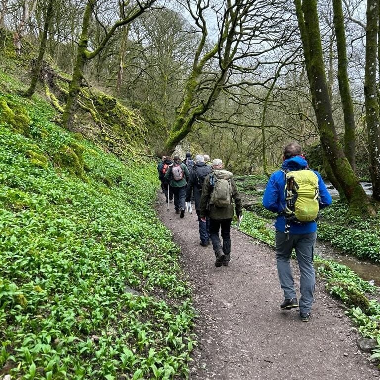
Learn to plan and enjoy moorland walks safely on a Mountain Training Hill Skills course across two days in the Yorkshire Dales. Navigation, weather, equipment, emergencies and low-impact travel are taught through journeys the group helps shape each day.
Over two rewarding days in the Yorkshire Dales, your instructor coaches you through the core principles of safe moorland and fell walking. You will master map reading using 1:25,000 and 1:50,000 OS maps, compass bearings, pacing, timing, contour interpretation, and identifying ground features across open terrain.
The journey is structured collaboratively, giving you plenty of opportunities to take the navigational lead and test out strategies in realistic conditions. We also cover weather interpretation, emergency procedures, route planning, gear selection, and environmental stewardship under the Countryside Code.
Course walks take place in the expansive uplands of the Yorkshire Dales National Park, using areas around Horton in Ribblesdale, Malham Moor, or Grassington. These areas provide an outstanding combination of clear paths, intricate limestone terrain, and featureless moorland ideal for navigation practice.
We email exact meeting points, parking details, and daily timings prior to the weekend. You will need sturdy walking boots, waterproof jacket and trousers, warm layers, and a daypack packed with lunch, water, and personal snacks.
No prior navigation qualification is needed. You should manage 8 to 12 km per day over uneven moorland with a daypack.
Tell us when booking about any joint issues, medical needs, or walking pace concerns so we can plan routes that keep the group comfortable and confident throughout both days. Our leaders are dedicated to keeping days accessible, enjoyable, and rewarding for everyone.
Hill Skills days put the map in your hands early, with tutors coaching beside you rather than marching ahead. We use real Dales terrain so contour recognition and bearing work stick when you walk solo later.
Tutors hold Mountain Leader and higher Mountain Training qualifications with decades of walking and guiding experience across the UK upland environments. Small group ratios guarantee you get ample navigation turns, personalised feedback, and plenty of individual attention.
We meet on the hill in the Yorkshire Dales each morning; exact car park and route are confirmed before day one based on weather and group aims.
Allow time for moorland approaches from parking and pack full waterproofs, boots and a day rucksack for both days.
You will practise map and compass work on 1:25,000 and 1:50,000 OS sheets, interpret contours, plan routes and manage emergencies on Yorkshire Dales moorland. Tutors coach pacing, timing and feature recognition while you take turns leading legs across real terrain.
Weather interpretation, kit choice and Countryside Code travel are woven through each journey rather than taught only in a classroom. By day two you should feel more confident choosing paths and staying oriented when mist rolls in.
Beginners are welcome if you can walk for a full day carrying a day rucksack over uneven moorland paths. Prior navigation courses are not required because we build skills from simple map introductions upward.
Tell us about recent walks, knee issues or preferred pace when you book so tutors choose routes that keep the group comfortable. A modest fitness base helps more than specialist gear on day one.
Course days use Dales moorland and valley paths around areas such as Horton in Ribblesdale, Malham Moor or Grassington depending on forecast and learning goals. Terrain mixes clear tracks with open ground ideal for bearing practice.
Exact meet point, parking payment guidance and daily timings are emailed before the weekend. Arrive with boots broken in and lunch packed because we stay out for most of each day.
Bring waterproof jacket and trousers, warm layers, sturdy walking boots, a 1:25,000 OS map of the area, compass, lunch and at least two litres of water. A map case or clear bag keeps your chart readable in drizzle.
A head torch, whistle and spare warm hat are recommended even in summer when days run long. Personal medication and any knee supports should be in your rucksack, not the car.
Expect roughly six to eight hours on the hill with regular food and map-check stops. Distance varies with conditions and how much time we spend on coaching stops versus continuous walking.
Pace stays educational rather than record chasing, so slower walkers still get navigation turns. Share concerns about distance when booking and we can confirm typical kilometre ranges for your course date.
Yes. Content aligns with the Mountain Training Hill Skills syllabus and outcomes can be recorded in your candidate logbook when you are registered. Tutors hold Mountain Leader or higher qualifications and explain registration steps if you are new.
Completing Hill Skills does not award Mountain Leader status on its own, but it is a sensible foundation before Hill and Moorland Leader training. Many learners attend purely for personal confidence without pursuing further awards.
You should manage sustained uphill walking on uneven ground for two consecutive days with a typical daypack. Rest stops are built in, but there is limited opportunity to leave the group mid-route except in emergencies.
Share injuries, asthma or anxiety about exposure when you enquire so tutors plan suitable lines and group expectations. We can suggest a gentler private day first if you are unsure about multi-day moorland work.
Pet dogs are not suitable on taught navigation days with a mixed group because livestock, gates and coaching stops need predictable group behaviour. Registered assistance dogs are welcome when discussed with us before the course.
Following the Countryside Code keeps farmers, ground-nesting birds and your group safe on open moor. We practise leaving no trace and closing gates behind us throughout both days.
Wind and rain are part of hill learning and tutors teach when to adjust routes, shorten exposure or add layers. We may relocate to a different start point if a valley offers safer learning conditions than an exposed ridge.
If forecasts make the planned area unsafe, we reschedule or offer an alternative training weekend under the policy on this page. Your tutor explains any morning changes before you leave the car park.
You make your own way to the daily meet point in the Dales; car sharing within the group is often arranged informally once introductions are made. Public transport options are limited in some valleys, so plan travel in advance.
We email meeting details, timings and consent forms for any under-18s once your date is confirmed. Parking charges may apply at popular trailheads and are not included in the course fee.
About the centre
Skipton
Operated by My Expedition Rocks, a partner of adventuro.