Cabo Verde
Cabo Verde's ten volcanic islands lie about 570 kilometres off West Africa. You can kitesurf the winter trade winds on Sal, walk the terraced valleys of Santo Antão, or climb Pico do Fogo from inside its crater.
Explore regions

Cabo Verde's ten volcanic islands lie about 570 kilometres off West Africa. You can kitesurf the winter trade winds on Sal, walk the terraced valleys of Santo Antão, or climb Pico do Fogo from inside its crater.
Explore regions
Cabo Verde lies in the Atlantic about 570 kilometres off West Africa, and its ten volcanic islands vary more than the beach photos suggest. Sal, Boa Vista and Maio are low and sandy, swept by a steady trade wind. The islands further west rise into mountains, from the terraced valleys of Santo Antão to the 2,829-metre cone of Pico do Fogo.
International flights land on Sal, Boa Vista, São Vicente and Santiago, whose airport serves the capital, Praia. Domestic flights and ferries connect the islands, though wind and swell can delay both. Most trips cover one or two islands in a week. The trade wind blows hardest from about November to May, which is the main kitesurfing season and the clearest weather for hiking.
Sal is flat and bright, and its days revolve around the wind. Most visitors stay in Santa Maria on the southern tip, where a long beach runs either side of a wooden fishing pier. Kitesurfing schools teach at Kite Beach, a short drive up the east coast, where the onshore breeze keeps you close to the sand. Experts head for Ponta Preta instead, a fast reef wave off the south-west tip that has hosted world cup contests. Boa Vista, to the south, is bigger and emptier, with the Viana dunes rolling inland and loggerhead turtles nesting on its beaches from about June to October.
Mindelo, the port town of São Vicente, curls around a deep bay below the rocky profile of Monte Cara. It's a musical place, with live bands in the bars and a Carnival before Lent that fills the streets. A ferry from the harbour reaches Santo Antão in about an hour, and it's the only way in, because the island has no working airport. The island is made for hiking. Cobbled paths drop from the Cova crater into the Paul valley. Another follows the cliffs from Ponta do Sol to Fontainhas, a village of painted houses high above the sea.
Santiago is the largest island and home to about half the population. Praia, the capital, grew up on the Plateau, a flat-topped hill above the harbour. A short drive west, Cidade Velha was the first European town in the tropics and is now a UNESCO World Heritage Site. Inland, trails in Serra Malagueta follow forested ridges. From Praia a short flight or a four-hour ferry takes you to Fogo, where you climb Pico do Fogo from a crater floor of vines and black lava. Brava, the smallest inhabited island, is an hour's ferry beyond.
Two quieter islands suit a slower trip. São Nicolau has a mountain spine topped by Monte Gordo, where a trail through a natural park looks out to Santo Antão on clear days. Its fishing port, Tarrafal, has beaches of black sand. Maio, a short hop east of Santiago, is low and sandy, with empty beaches and nesting turtles in summer. Its harbour town, Porto Inglês, is named after the English ships that once loaded salt there.
For a kitesurfing week, Santa Maria puts kite schools and restaurants within walking distance of the beach. Sal Rei on Boa Vista is smaller and closer to empty sand. Hikers usually spend a night in Mindelo, then three or four on Santo Antão, in Ponta do Sol or a guesthouse in the Paul valley. On Fogo, São Filipe is the easy choice, though a bed in Chã das Caldeiras puts you at the foot of the volcano for a dawn start. Praia suits a night or two before you head inland or fly on.
Kite lessons, snorkelling trips and most day hikes suit beginners who can swim and walk for a few hours. Once you can ride upwind or handle long, steep descents, improver courses and guided traverses open up. Advanced riders can book downwinders and wave sessions. Use the Book here tab to see live dates and prices from local centres.
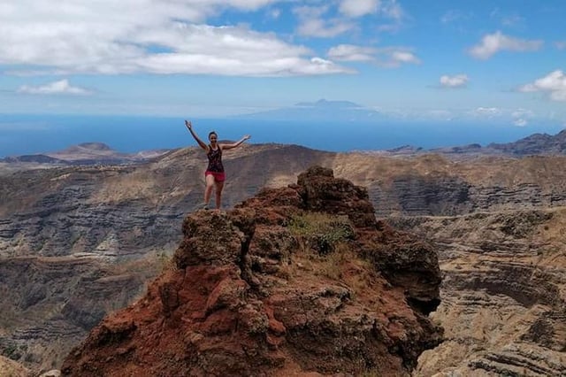
Guided hike to Pico da Antonia summit at 1,394m with pickup from Praia and panoramic island views. From $117.42pp.
From $ 117.42
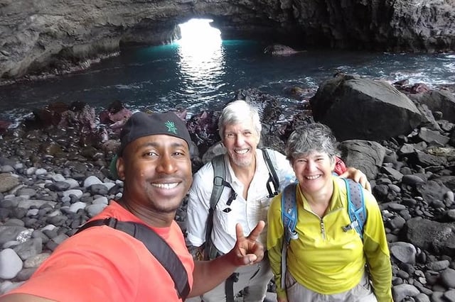
Moderate 10km hike to Águas Belas cave, rural villages and Porto Ribeira da Barca fishing harbour. From $105.68pp.
From $ 105.68
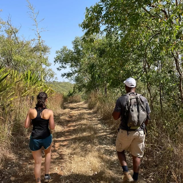
Guided nature hike through Serra Malagueta peaks with pickup, viewpoint stops and forest trails. From $71.80pp.
From $ 71.80
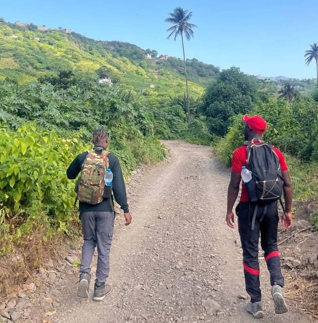
Scenic hike to Mantaba plus hands-on traditional cuscus cooking workshop with pickup. From $105pp.
From $ 105
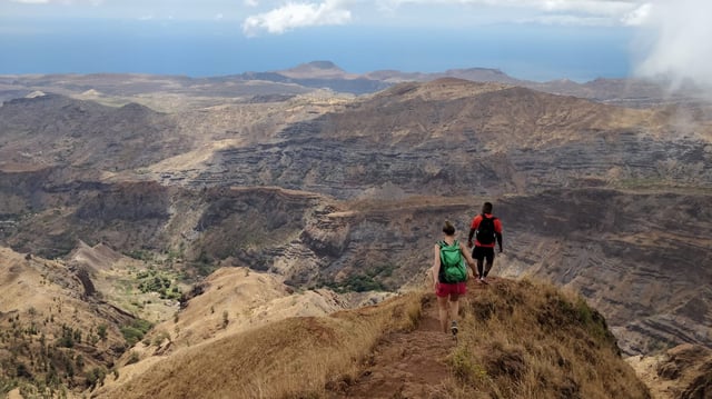
Guided hike to Santiago Island's highest peak with pickup, ridge trails and panoramic views from Pico da Antónia. From $100pp.
From $ 100
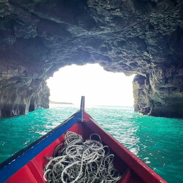
Boat trip to Águas Belas cave with swimming, coastal scenery and seaside barbecue. Pickup included. From $130pp.
From $ 130
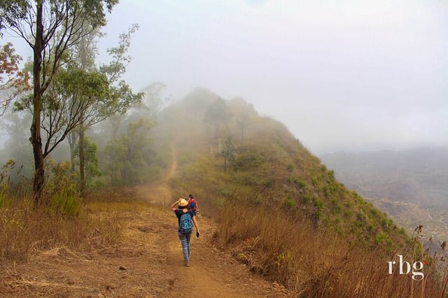
Full-park hike from Serra Malagueta Natural Park down to Gongon Valley with rural culture and local food. From $105.68pp.
From $ 105.68
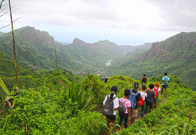
Guided moderate hike from Serra Malagueta to Ribeira Principal through mountain terrain and rural villages. From $110pp.
From $ 110
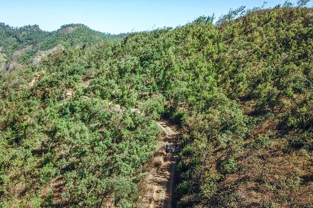
Guided hike through Serra Malagueta Natural Park with pickup, forest trails and mountain viewpoints. From $84.31pp.
From $ 84.31
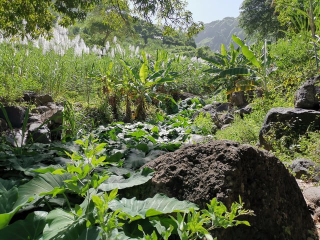
Scenic guided hike from Serra Malagueta through the natural park down to Gongon Valley. Pickup included. From $100pp.
From $ 100